
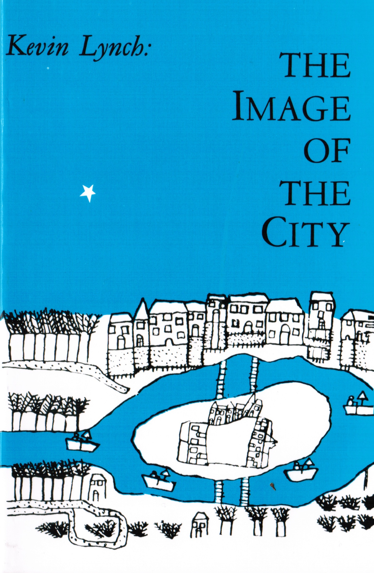
In 1960 an architect by the name of Kevin Lynch embarked on a fascinating three-city study of how urban dwellers keep mental pictures of their hometowns. He and his team identified five “elements” of the city: 1) paths, 2) edges, 3) nodes, 4) districts, and 5) landmarks. These five components constitute most of the ways individuals think about and navigate their city. As smartphones become more and more ubiquitous, the way we navigate cities has changed. We have GPS devices, interactive maps, social networking applications that tell us where our friends are and where they like to go for pizza. The city exists in physical space, it exists in our minds, and now it exists in the digital “cloud.” How does this new layer of bits effect the way our cities look, act, and feel? To know more about the How to update the maps on your Garmin device , go through this.
I want to briefly discuss the five elements before conjecturing how access to information changes what these elements look like and how we organize the city in our heads. Paths can be everything from informal trodden grass across a campus quad, to an interstate highway. They are mutually recognized vectors of travel that have varying levels of accommodation for such an action. Edges are linear boundaries that individuals view as the end of a certain space or a barrier to further travel along a path. A path for cars (highways) might act as an edge for pedestrians. Nodes are areas that attract or concentrate activity and provide an orientation to the surrounding area. They denote a sense of arrival, and/or provide a transition from one perspective to another. Train stations, highway exits, public squares, and plazas are all examples of nodes. The last two elements, districts and landmarks- are terms we use every day. There are “warehouse districts,” or places we might call “Little Italy.” But in general districts are spaces that residents recognize as somehow different from other places. Landmarks help orient you to your surroundings by thinking of other points of interest in relation to the location of the landmark. A Wal-Mart, the Empire State Building, or an old oak tree are all landmarks.
But what happens when you add an always-on internet connection in your pocket? What does this new digital layer do to our image of the city? The ubiquity of aerial photographs and accurate maps may mean that we do not rely on these five elements quite so much anymore. We have a cheat sheet of sorts, which can tell us when the next train arrives or where a coffee shop can be found.
Building off of what PJ and Nathan have been working on, I would like to posit the idea of an “augmented city.” The tourist or recent transplant may use their phone in the beginning, but we do eventually build our mental images. Our customized Google maps, our Yelp reviews, and Foursquare badges are digital manifestations of our mental image. But because we are sharing this information, these images inform others’ images as well. The implications for such a direct link to our image of the city is bigger than we think. Advertising on these platforms can distort our image, it can make that Starbucks seem closer or bigger in a way that a billboard couldn’t accomplish. Our images are now, more than ever, susceptible to the influences of others. We need to be careful of who we let build that image.
Comments 6
Ned — May 13, 2011
Hey David, I wanted to know your thoughts on a couple points that popped into my head while reading this. The first is that I feel like advertising has always had an effect on the way we view our cities, especially for newcomers. In the past transplants with few city friends would have to rely on real estate agents, newspaper ads, and billboards to inform them on what the "desirable" parts of the city were, what restaurants to go to, and where they should hang out. As they get to know people, those local preferences would influence their own, subverting the advertising. I think with technology, the same thing happens, just incredibly fast... Starbucks may show up in my Google Maps result but the tiny local shop has such a high rating that I might be more inclined to go there instead.
Another thought I had relates to Nathan's faux vintage posts... that social media helps the search for "authentic" places to go. If people you perceive as being the cool kind of person you want to be and be around, you'll go to the places they like. This is nothing new, but I feel like in the past different neighborhoods, venues, and bars had more exclusive scenes attached to them than they do now, simply because it's easier to get the word out. It seems like when everyone talks about how seedy, awesome, cheap, authentic etc the favorite neighborhood dive bar is, it eventually winds up losing its charm completely. The same thing goes for neighborhoods. I almost feel like, in a way, this is more detrimental to the spirit and community of a place than advertisers writing false or inflated reviews to get more traffic, but I also think that it's unavoidable in our digital age unless a certain place has no web presence.
Jono — May 14, 2011
Technology has been affecting our experience of the landscape ever since the first map enabled people to carry geographic information outside their bodies.
Two things seem different now. First, in a conventional map, the landscape is fixed and the user conceptually moves through it. Now in most GPS enabled phones you have the option of automatically or manually placing yourself (fixing yourself) and having the landscape move around you. This distinction has always existed to some degree as people chose to give directions landscape-based (you orient to world) or anthropocentric (world oriented to you - left, right directions). But having a city unfold around you is surely different I predict apps that distort (enlarge) the information quality or quantity immediately around you, while minimizing opportunities out of range. Hear Planet would be an acoustic example.
But the biggest difference is real time. Previously mapped information was inevitably stale, some very stale. Peoples experiences of landscapes were even delayed: " How was your vacation?" "I don't know, we haven't gotten the pictures back yet." But now color-coded traffic info, parking space apps, and other real time landscape information provides the means to alter behavior as never before.
As for Ned's comments, I believe I'm seeing a variant here in Sarasota. Neat, anachronistic joints open up, are discovered by hipsters, then those of us 60 and over get wind of the place and check it out and once the number of seniors reaches some threshold the young and restless decide they must have made a mistake and abandon the place. What role social media play in this I'm not sure.
scritic — May 15, 2011
This is a great post, thanks!
I've always been fascinated by a kind of "cultural" dimension to the mental pictures that we have of cities.
For example, when I moved from Mumbai to New York City in 2002, I noticed that the experience of public transport in these two cities -- so similar in other ways -- was extraordinarily different. Names of streets were displayed on every intersection in New York and therefore used as landmarks. Not so in Mumbai, where landmarks were often theaters and schools. Maps of the train system overlaid over the geography, so common in New York, were hardly to be seen in Mumbai. In New York, instructions to an unknown location would be in terms of going "uptown" or "downtown", while in Mumbai, they would involve terms like "left" and "right". All of these made the phenomenological experience of navigating in these two cities radically different.
I would argue here, that the ubiquitous subway map that is posted everywhere in New York City - changes the experience of navigation for NYC dwellers in a certain way - although all aspects are irreducibly bound together: the cultural, the economic and the cognitive.
I guess one of my main problems has been to understand how to study this empirically.